|
| *****SWAAG_ID***** | 307 |
| Date Entered | 04/11/2011 |
| Updated on | 05/12/2011 |
| Recorded by | Tim Laurie |
| Category | Tree Site Record |
| Record Type | Botanical HER |
| Site Access | Public Access Land |
| Location | Muker CP. Birkdale Common, Birkdale Beck. Small cliff above confluence with Little Sleddale Beck. |
| Civil Parish | Not known |
| Brit. National Grid | NY 834 021 |
| Altitude | 410m |
| Geology | Sandstones and shales above the Crow Limestone which are well exposed at the confluence with Little Sleddale Beck, see photos. |
| Record Name | MUK101 Muker CP. Birkdale Common Birkdale Beck. Type B Locality generally acidic but with Tufa Springs. Rowan and shrub willow only trees present. |
| Record Description | Small streamside north bank cliff on Birkdale Beck 200m upstream of confluence with Little Sleddale Beck. Vegetation Type B* on low SW facing cliff with tufa forming spring.
Rowan and Tea Leafed Willow (S. phylicifolia) the only tree species present.
|
| Dimensions | See photographs |
| Geographical area | Upper Swaledale |
| Additional Notes | Further photographs required. |
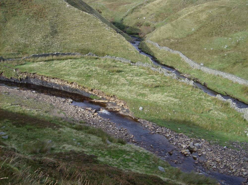
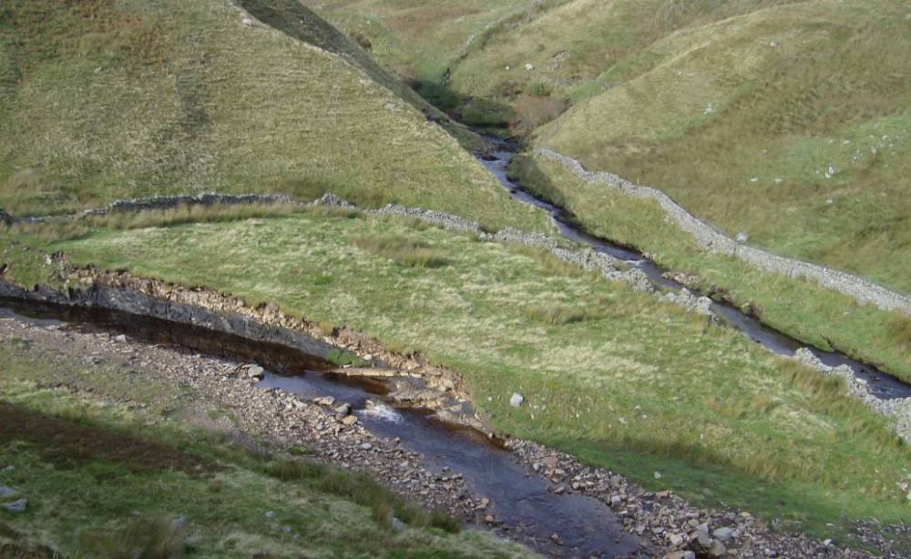
| Image 1 ID | 1150 Click image to enlarge |
| Image 1 Description | Birkdale Beck (Top Right) above confluence with Little Sleddale Beck (Lower). Scar is Top Centre of photo. | 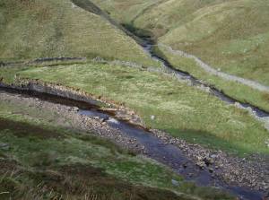 |
| Image 2 ID | 1151 Click image to enlarge |
| Image 2 Description | Little Sleddale Beck. Strata of the Crow Limestone Series exposed in the Beck. | 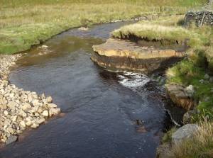 |
| Image 3 ID | 1152 Click image to enlarge |
| Image 3 Description | Birkdale Beck and Little Sleddale Beck. |  |